Real geography
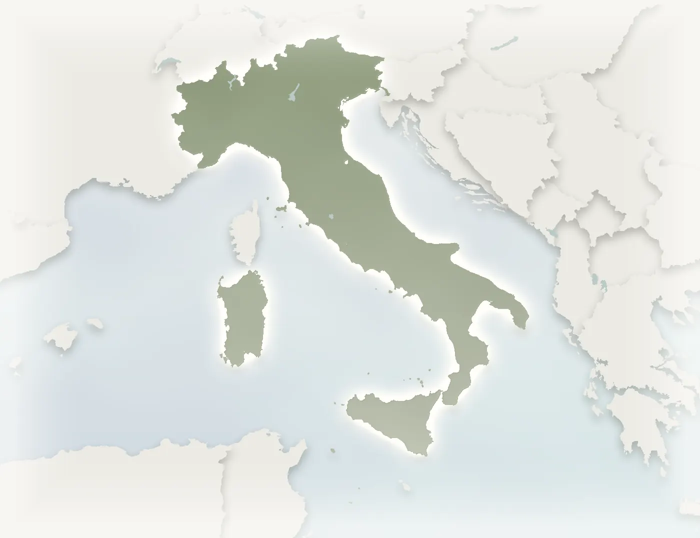
Natural Earth borders, offline geocoding, any country framed correctly; neighbours auto-fade for depth. The land is the real land.
Bespoke itinerary maps · A service studio
Send over countries, cities, nights and transport — the studio's in-house engine draws real geography, itinerary storytelling and on-brand craft. Fast turnaround, consistent, print-ready.
The in-house cartographer boutique agencies wish they had — without hiring one.
Many routes · many finishes
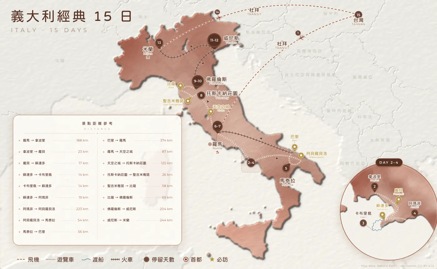
Italy · 15 days Oil
What this is
Real geography, itinerary storytelling, your brand, print-ready — all four at once. Every map is geography you could look up; days, transport and must-sees arranged into a journey that reads at a glance, in your palette and type, at print resolution. That combination is why Itinvela exists.
How it's made
From real geography to a finished piece, every layer is laid out by the engine — the map below is actual output.
Framed on real borders and coastlines — not a sketch, but geography you could look up. Neighbours fade into the background; sea mist adds depth.
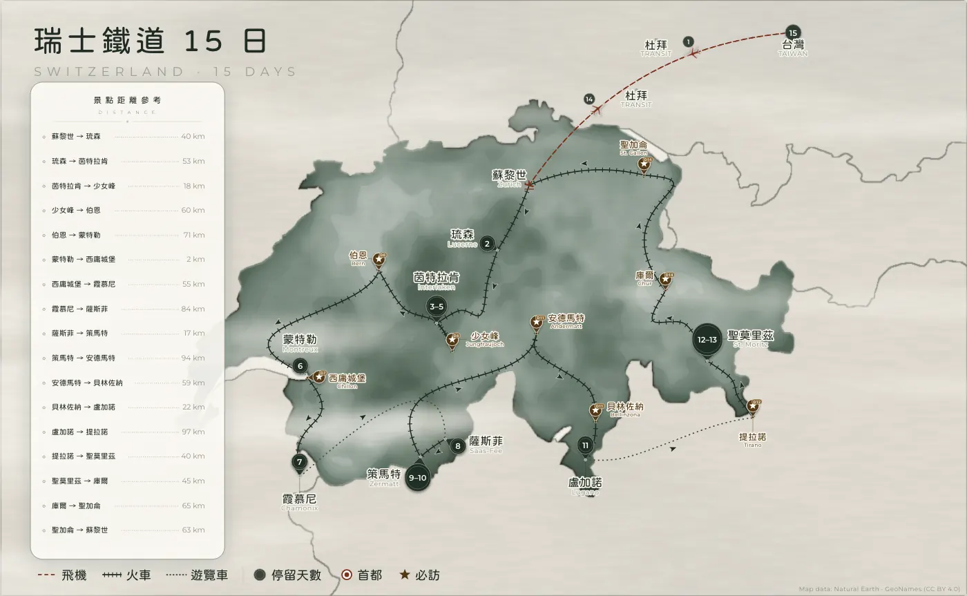
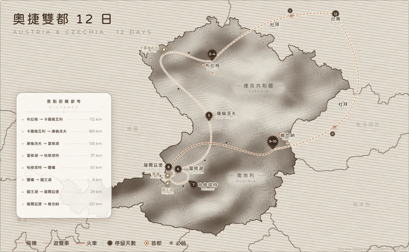
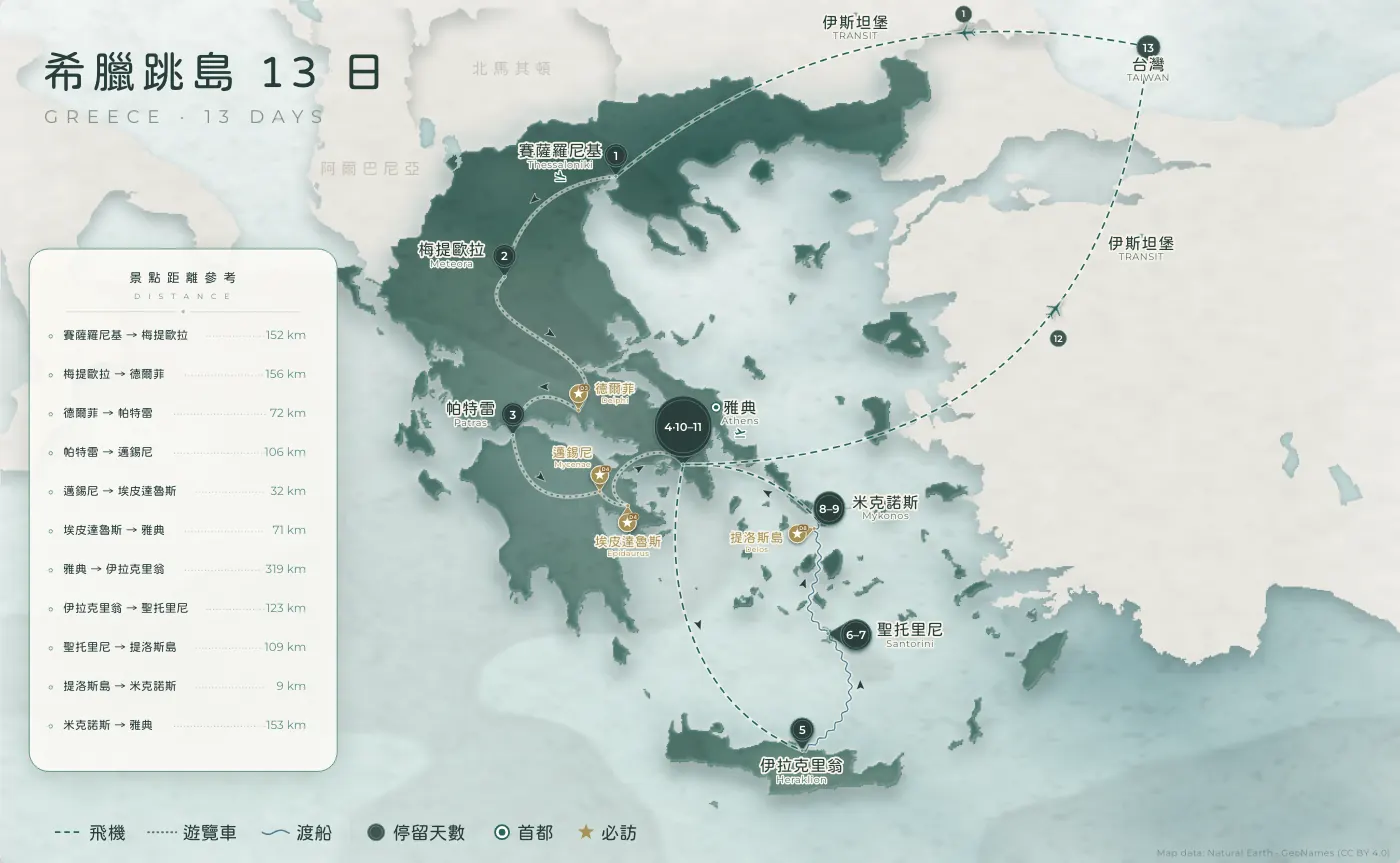
Long dashes for flights, sleeper ticks for rail, waves for ferries — five transports read at a glance, and direction arrows dodge the crowded spots.
Nights, capitals and must-sees each get their own mark; where stops crowd together, a circular magnifier is generated automatically so small towns stay legible.
Distances, a transport legend, the title and logo settle into the empty space — what comes out is a piece ready for print.
Why it looks good
Natural Earth borders, offline geocoding, any country framed correctly; neighbours auto-fade for depth. The land is the real land.
Routes styled per transport, day nodes, must-see sparks, a distance card, a transport legend — the whole trip reads at a glance.
One Style Profile locks your palette, type and framing. Every new route lands on-brand, automatically.
Translucent mist, warm-gold gradients, paper-relief emboss, careful spacing — generated in code, clean rights, scalable to print.
Selected work
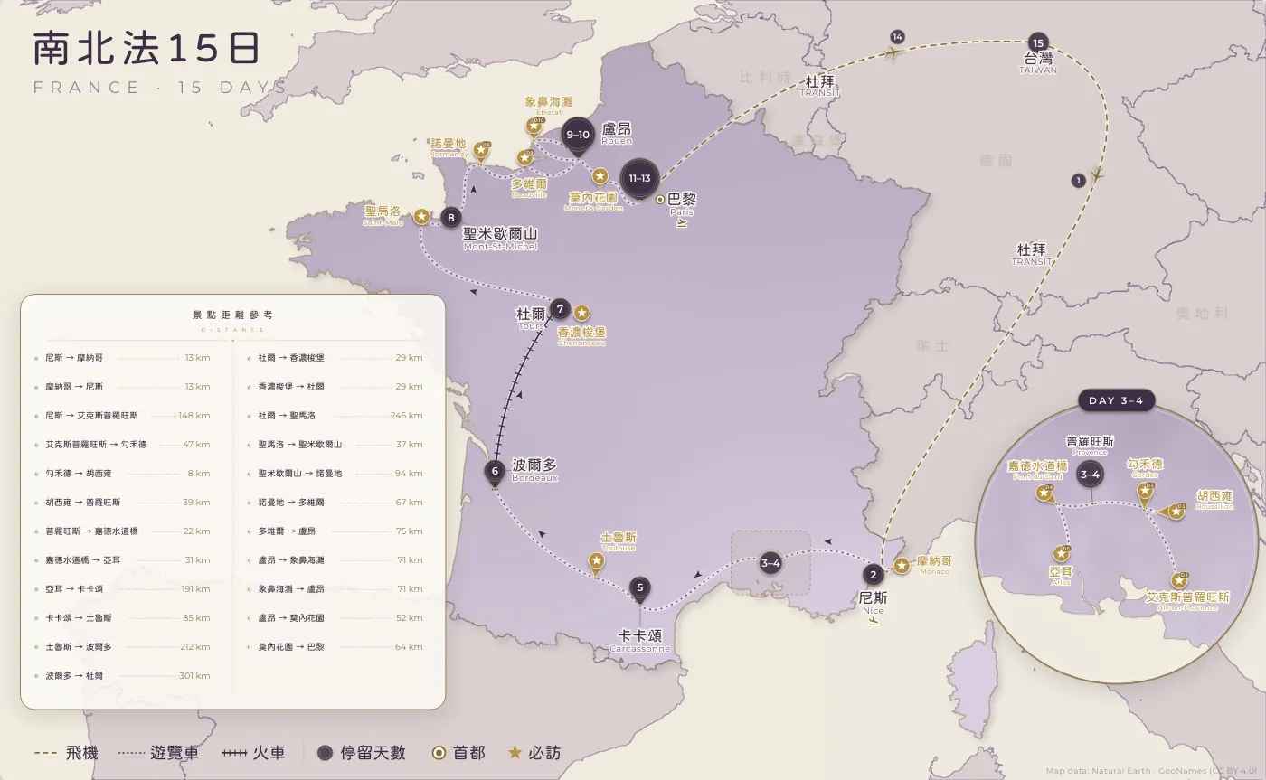
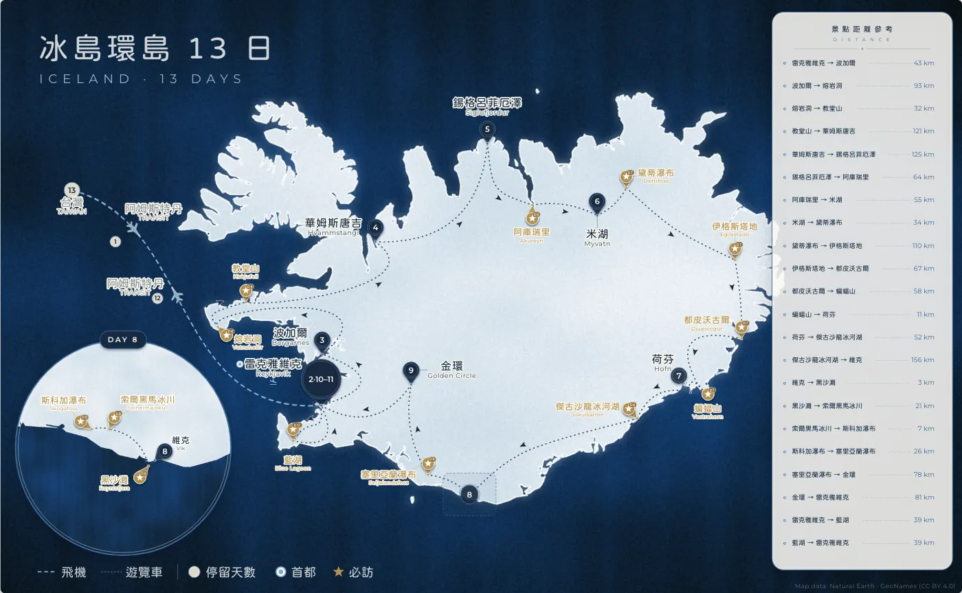
A few real itineraries — the same storytelling language across countries and palettes.
Output formats
The same map, re-rendered to different canvas ratios — social posts, stories, prints, A4, wide posters. Each ratio is re-framed and re-laid-out, never just cropped.
A native ‘fit-to-map’ ratio is available too; every ratio ships in a social (low-res) and a print (high-res) version.
How it works
Countries, cities, nights per stop, transport per leg; mention any brand palette needs.
Difficulty is assessed and quoted, and a proof is drawn for your review.
Two minor revisions included — list it all once, one version ships.
Pay only when happy; receive clean social + print files. Your Style Profile is kept free for next time.
Send over the countries, cities, nights and transport. See a preview first, decide after.